גרסת סדרת הנתונים שמופיעה כאן אינה עדכנית. כדי לצפות בגרסה העדכנית עליך ללחוץ כאן.
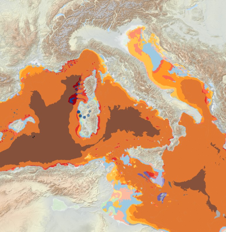
תצוגה מקדימה
תיאור סדרת נתונים:
Output of the 2021 EUSeaMap broad-scale predictive model, produced by EMODnet Seabed Habitats. The extent of the mapped area includes the Mediterranean Sea, Black Sea, Baltic Sea, and...
מקור: EUSeaMap 2021 Broad-Scale Predictive Habitat Map for Europe
מידע נוסף
| שדה | ערך |
|---|---|
| עדכון הנתונים האחרון | 3 באוקטובר 2023 |
| עדכון אחרון של נתוני העל | 3 באוקטובר 2023 |
| מועד היצירה | 3 באוקטובר 2023 |
| תצורה | JPEG |
| רישיון | License not specified |
| Id | 3753a0e8-ff94-49f6-9bf1-645293d2b0da |
| Mimetype | image/jpeg |
| Package id | feaa9a72-a4f8-46e9-a72c-cb13a8dee229 |
| Position | 6 |
| Size | 181.9 KiB |
| State | active |
| Url type | upload |
| Resource type |