Interactive mapping interface
Dataset description:
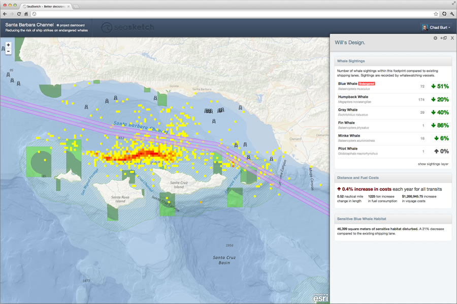
SeaSketch is a web-based platform used to support collaborative marine spatial planning. SeaSketch can collect data and geospatial layers form public and private services and provide them...
Burimi: SeaSketch
Informata shtesë
| Fusha | Vlera |
|---|---|
| Data last updated | 5 shtator 2018 |
| Metadata last updated | 5 shtator 2018 |
| U krijua | 5 shtator 2018 |
| Formati | JPEG |
| Licenca | License not specified |
| Resource type | Documentation |
| Datastore active | False |
| Datastore contains all records of source file | False |
| Has views | True |
| Id | 1b93a97b-2666-4811-87f5-62a6aa816237 |
| Mspkc resource tool type | documentation |
| Package id | 142665dd-904c-4ecd-8ee8-584dc8978ddf |
| Position | 1 |
| State | active |
| Url type | upload |